Day 7:
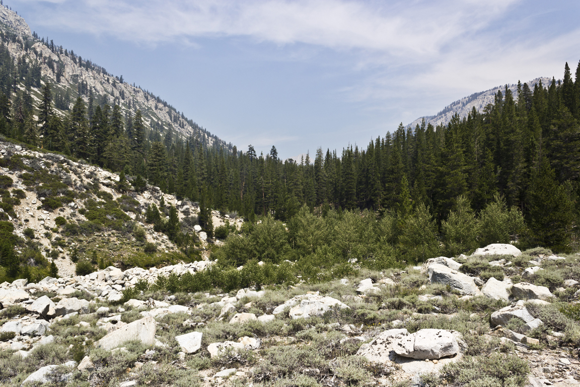
Once again we were up early, packed quickly and on the trail in good time. This day was not to be difficult. We were essentially going to be putting ourselves in position for Mt Whitney the last day so we only had about 9 miles to go. The stretch to Crabtree meadows was a nice hike with some lovely views. We made excellent time and took a few breaks.
At Crabtree meadows we picked up our "
Wag Bags" for the Mt Whitney zone. I've linked that in case you really really want to know and so I don't have to explain it here....
The walk from Crabtree to Guitar lake was very nice as well but the usual afternoon smoke was starting to roll in.
 |
| That's Mt Whitney in the background |
Guitar lake is the main staging area for a Whitney attempt. It sits at a little under 12kft on the western side. We got there early and set up camp. The GoPros came out and we attempted to get more footage for the Oatmega folks. The area around the lake started to get really crowded. Since we were at such an elevation the sun was really hot. To keep the heat down Adam and I had a swim in the freezing water but Joe and Matt did not.
 |
| Adam and his monster coming down to guitar lake. |
 |
| Whitney |
 |
| More Whitney |
 |
| Notice 2 things: the thick smoke, and the face of John Muir in the rock on the left. |
 |
| SOOOOO much smoke. |
 |
| Joe descending. |
Eventually as the sun started to set things cooled off quickly and the smoke practically vanished. This greatly improved the mood of everyone in camp and the cameras came out again to much better effect.
 |
| Joe left, our campsite next, whitney then guitar lake for an almost 360 degree shot. |
 |
| This is almost the same shot as the extra smoky one in the previous batch. |
 |
| They are watching my set up a GoPro time-lapse shot of the sun setting on Whitney which is awesome but I don't have it yet |
Now a progression of the sun setting on the next mornings destination, Mt Whitney.
We set our alarms for 2:30am (lesson learned about afternoon thunderstorms, and a 16 mile day coming up) and retired for a chilly few hours of sleep.
DAY 8:
We were up on time and packed in the near freezing predawn air. We skipped breakfast, shoved a bar or 2 in our mouths, donned our headlamps and set off. It was my first time hiking a trail by headlamp. I could only see about 10ft in front of me so it was almost literally 1 step at a time. I could occasionally look up and see a few bouncing head lamps up the trail but overall the predawn hike was oddly isolated. We made excellent time passing many people up to trail Junction. We had become stronger, the packs lighter, and Adams knees always felt better going up rather than down.
Once at trail junction where the route to the summit breaks off many people leave their packs and take a day sack up to the summit thereby lightening their loads. I had planned to do this but when I got there there was a footlong rat nibbling on anything he could find so I decided against it. I dropped only my bear canister (if a bear can't get into it what chance did a rat have?). Adam and I set off to the summit first because we were freezing as soon as we stopped. The breeze had picked up considerably since we'd made a saddle in the ridge, moving would warm us back up. As soon as I started hiking with my poles my hands started going numb. The trail was rough, in many spots more of a boulder hop than a trail but I stowed my poles and kept my hands in my pockets as much as possible.
The trail to the top has a bunch of jagged precipices through which you can view the Owens Valley 11kft below. The sun was rising as I was walking past these "windows" and I stopped to shoot some shots.
 |
| As you can see the smoke was filling the Owens valley too but we were now above it. |
I had read that after the windows there is a point where you feel like you're almost there and then you round a corner and see how far you have to go...
The above picture is some dude who is standing on the infamous corner. Once I rounded the corner I saw the below shots. Sure it's a ways to go still but look at what that sunrise light was doing to the summit.
Eventually I made the summit and it was even colder there than it had been on the trail.
 |
| The official plaque. The most recent survey puts Whitney at 14,508. I actually photographed 5 summit markers all with different elevations from various surveys over the last 80 years. |
 |
| The summit hut. It used to be a bathroom. Now its best used in a lightning storm. On this morning it was filled to the brim with freezing people. |
 |
| Joe and Matt signing the summit register. |
 |
| Sunrise view down into the Owens valley from the absolute edge of the top of the lower 48. |
Group shot.
 |
| From left: Joe, Adam, Matt, Me |
We actually didn't hang around the summit very long on account of the overall freezing numbness of any exposed skin.
The trail down the mountain was a jarring experience. Things got WAY more crowded, there are approximately 99 switchbacks in a row, and suddenly we were on the sheltered and sunny side of the mountain so things got hot fast.
 |
| Where we still had to go. |
 |
| Where we'd come from. |
It is 11.7 miles down from the summit of Mt Whitney to the Whitney portal and you lose 6,000 ft. It is long, hot, and anti-climactic. I basically raced down the mountain with a few stopped for snacks and water. Once at the trailhead I happily deposited my wag-bag in the proper receptacle put my gear in the trunk of my car and took a nap in the shade while I waited for the rest to catch up. Joe and Matt came along about an hour later. While we waited for Adam a ranger I'd met earlier in the day came down the mountain. I eavesdropped on his conversation with the store/grill owner in which the ranger said there was a guy coming down with a huge pack and horrible knees. The ranger told the store guy that he had given the poor kid 4 Advil and told him to take his time. That was Adam. He was a really tough dude. Eventually he made it down the mountain and we all immediately went to the grill and ordered huge plates of burgers/ fries/ and ice cream. It was glorious.
We walked to the car which Teresa and I had left there over a week ago and started the drive home.
It was a great trip. I don't think I still have a way to sum it up. I know I want to go back soon and often.
The blog will now resume its regularly scheduled intermittent family programming.
'Til then-
Ryan